Technology for easy search of maps collection
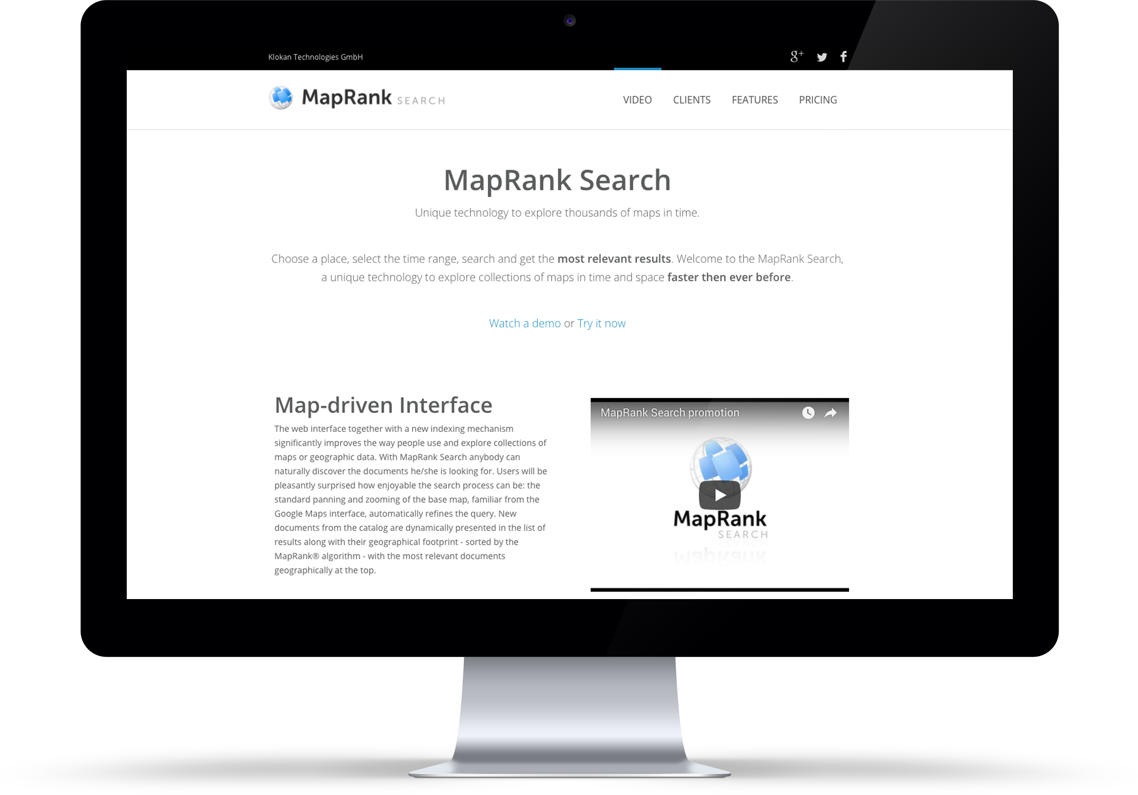
MapRank Search is a technology for easy search of map collections. By defining where, when, what and who published the map, it can filter the most relevant maps. Moreover, the results are sorted based on relevance.
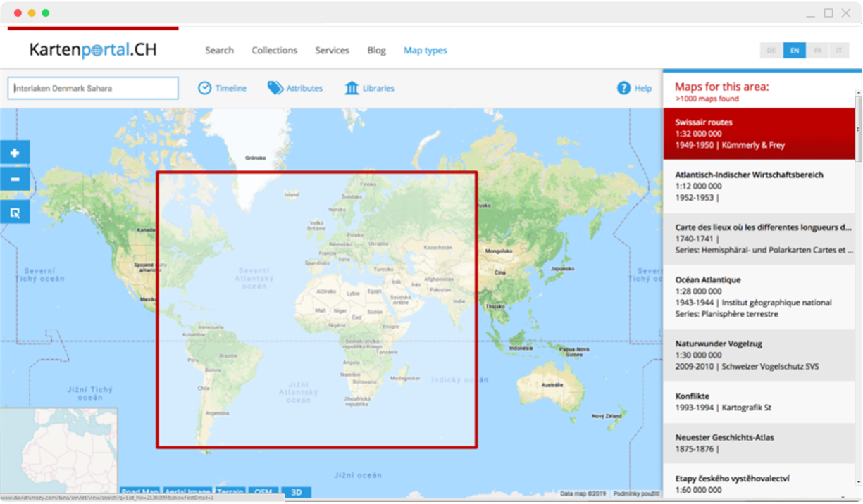
Kartenportal.CH is the specialised portal for maps from libraries and archives in Switzerland with half a million maps from all over the world.
Contract done by Klokantech in 2014
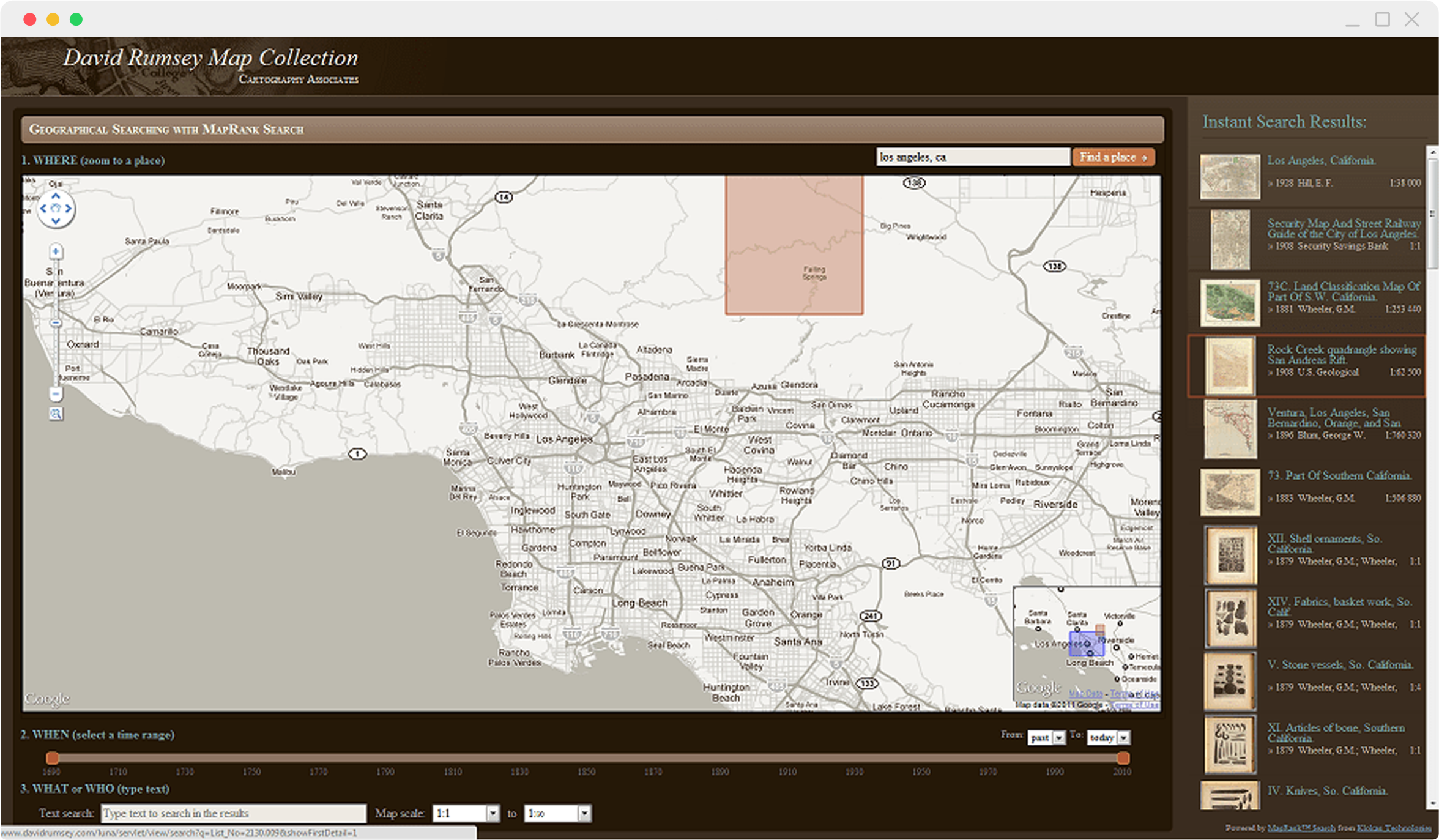
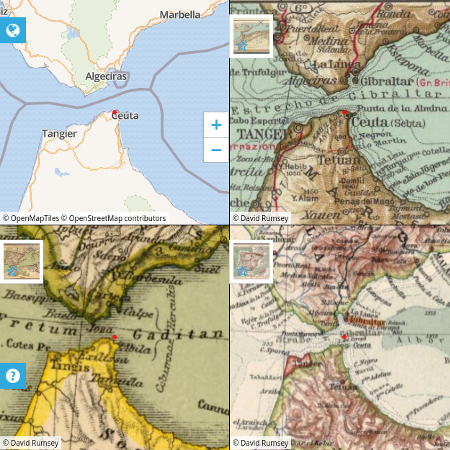
Online version of the David Rumsey’s private map collection, which is physically housed in the David Rumsey Map Center at the Stanford University Library.
Contract done by Klokantech in 2015
For more info visit
www.mapranksearch.com
With MapRank Search, you can restrain your search by Where is your area of interest, the time range When the map was published, What kind of map you are searching for and Who published it.
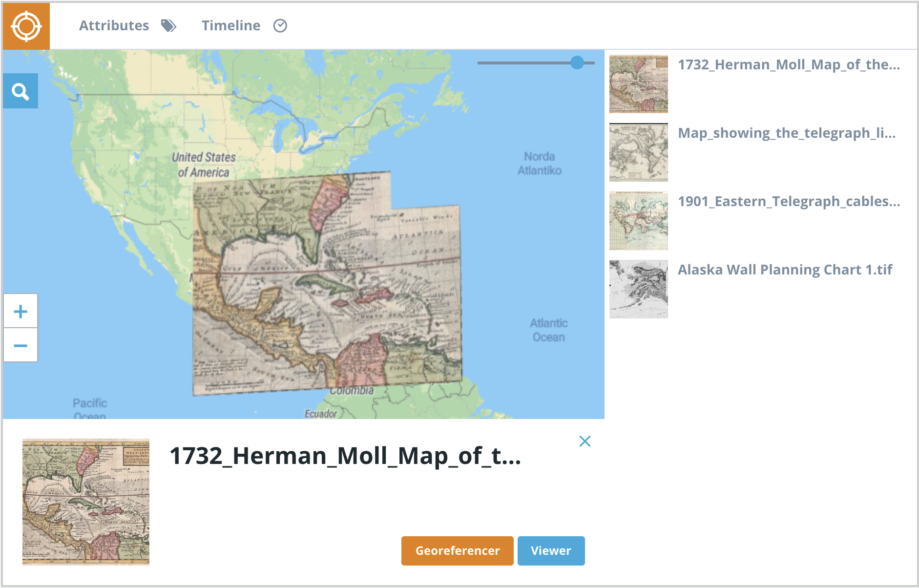
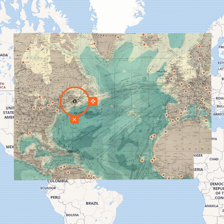
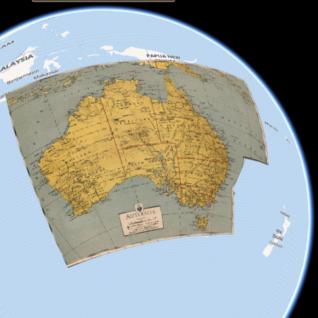
Adjusting scanned maps to be perfectly consistent with
modern coordinate-based maps
couldn’t be faster and easier with our
state-of-the-art tool.
Our animated guides help you get started. The web-based solution is even more efficient than traditional desktop software.
Visual or coordinate-based input of reference points, border-clipping, automatic rotation of non-north oriented maps, multiple base-maps, map insets, etc.
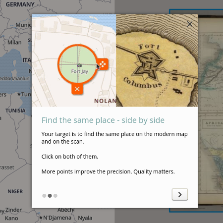
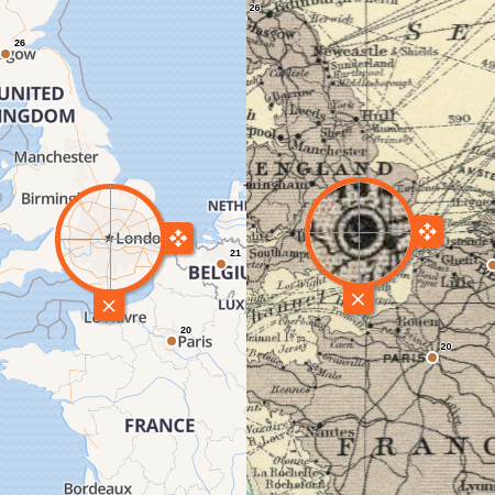
If you see a place or landmark in the wrong location, click on it and choose where it should appear. The map overlay is immediately recalculated.
Engage with your online visitors and ask them to help you find the correct location of your scanned maps - or give the task to your colleagues or students.
Present your maps in an exciting interactive form to visitors of your websites or exhibitions. All of these visualizations are available for each scanned map you process with Georeferencer.
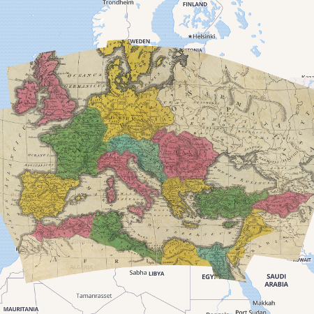
Overlay
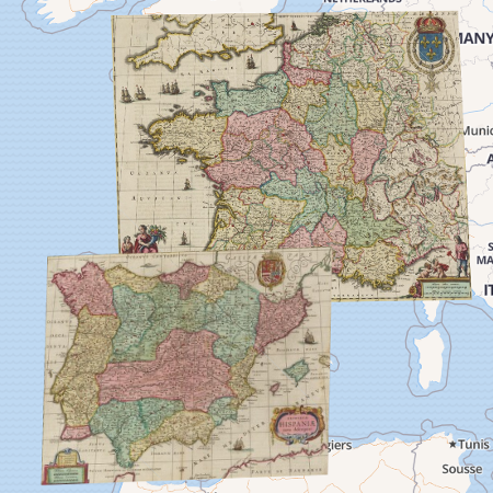
Compare
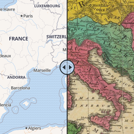
Swipe
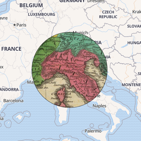
Spy glass
Grid
3D view