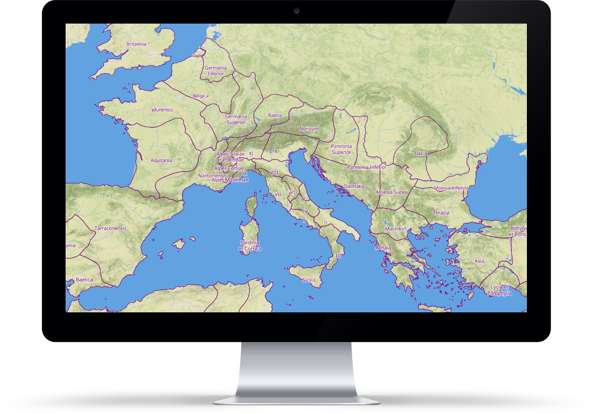
Historical map of the Roman Empire in a vector data format

Roman Empire Vector Map is a digital project aiming to visualize the extent of this empire. It shows borders of the Roman Empire in five different epochs and map labels in Latin, Greek and modern names in local languages.

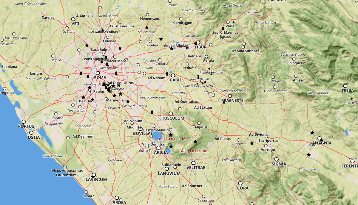
It contains tools for displaying selected type of human-made structures.
The map contains thousands of entries from biggest cities through minor settlements to smaller buildings like churches, bridges, baths or milestones.
